View Interactive Map


PILGRIM SPIRIT PATH


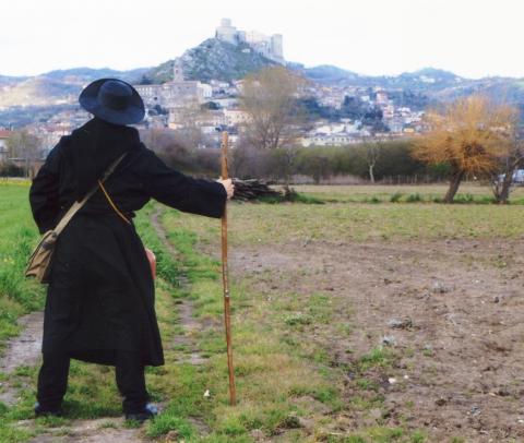
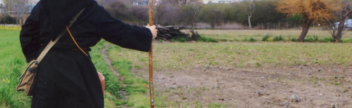
The Pilgrim Spirit path, which in the Taburno area retraces the ancient local stretch of the Via Francigena, is marked and equipped along its ca. 31 km and divided into 6 stages.
It starts from the municipality of ARPA and continues towards Airola, Buccaneer, Bones, Montesarchio, Apollo and then winds down towards Benevento.
In these municipalities we can admire numerous monasteries, churches, hospices and ancient roads taken by the pilgrims on their journey through the Taburno area.
The whole route is on paved road, and is accessible to anyone with a minimum level of fitness.
- Total length: 31.08 km (19.3 mi)
- Max. altitude: 660 m. (2166 ft)
- Min. altitude: 195 m (638 ft)
- Difference in height: 479 m (1572 ft)
- Maximum gradient: 19%
- Minimum gradient: -11%
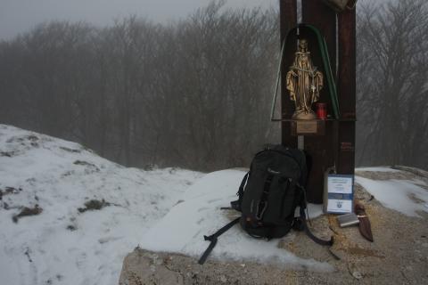
This route can be extended to include the "Sleeping Woman Path" and the "On the Traces of the Longobards Path".
Piedi
Bicicletta
Cavallo
Macchina
Travelling time on foot:
6 Hours
54 Minutes
Travelling time by bike:
2 Hours
45 Minutes
Travelling time on horseback:
4 Hours
36 Minutes
Travelling time by car:
31 Minutes