View Interactive Map
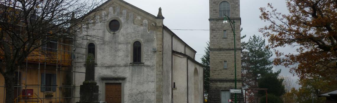

RIGHT ROMEA NONANTOLANA ROUTE

This route, which is also accessible by car, starts at Ponte della Casona bridge, gateway to the Sassi di Roccamalatina Regional Park. The itinerary, which practically coincides with the final stages of the cycling route (right Romea Nonantolana route), runs along the road used in medieval times by merchants and pilgrims, as documented in an agreement between the municipalities of Modena and Pistoia of 1225.
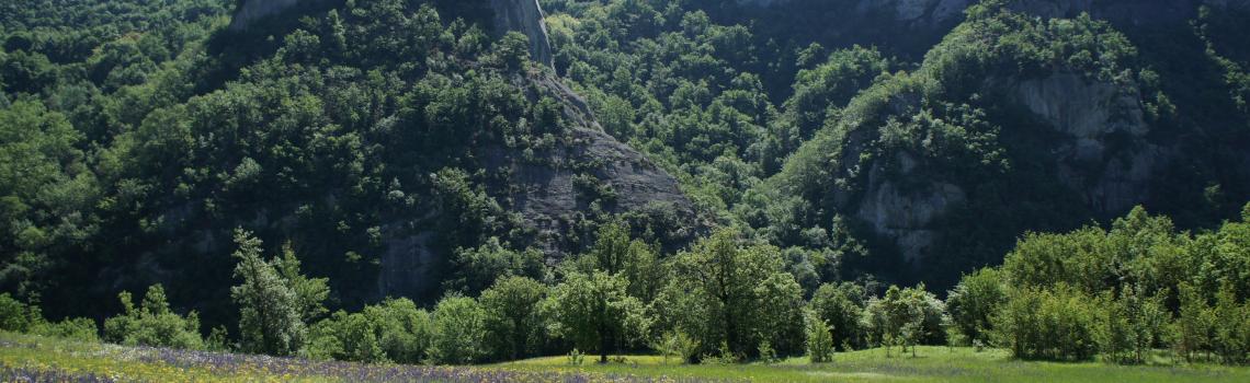
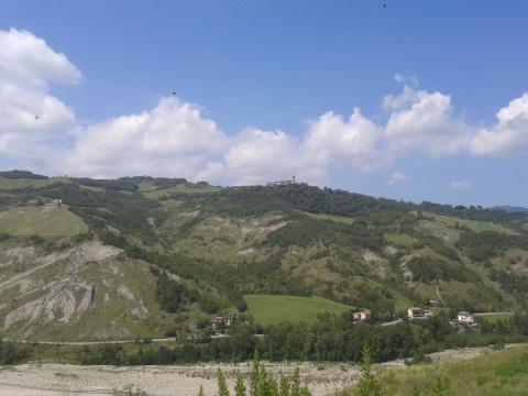
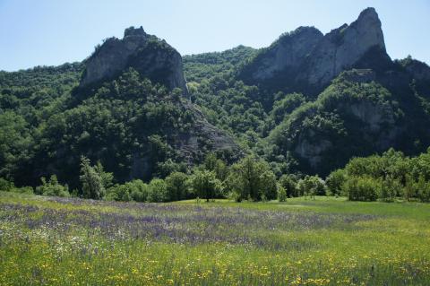
The route, about 75 km long, runs mainly along the right bank of the Panaro river, crossing the Sassi di Roccamalatina Regional Park, which is characterized by its unique and imposing sandstone pinnacles and by a well-preserved rural landscape.
Once over Ponte della Casona bridge and the Panaro river, the route winds through secondary roads with little traffic that cross the Sassi di Roccamalatina Park and reach the town of Zocca.
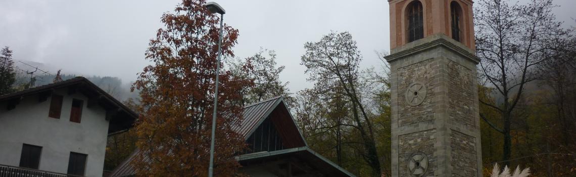
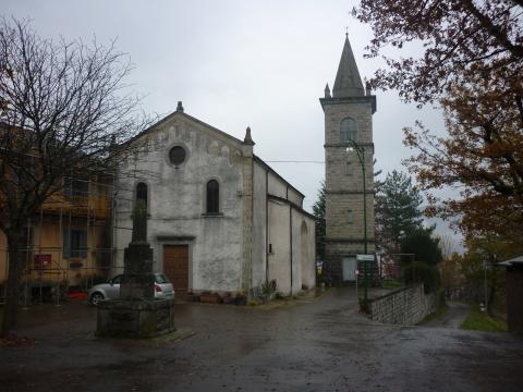
From Zocca the route continues to the towns of Montese and Fanano, passing through the hamlets of Maserno, Castelluccio, Rocca Corneta and Trignano, the whole way on roads with little traffic. The surroundings of Castelluccio, Rocca Corneta and Trignano afford fascinating views.