View Interactive Map
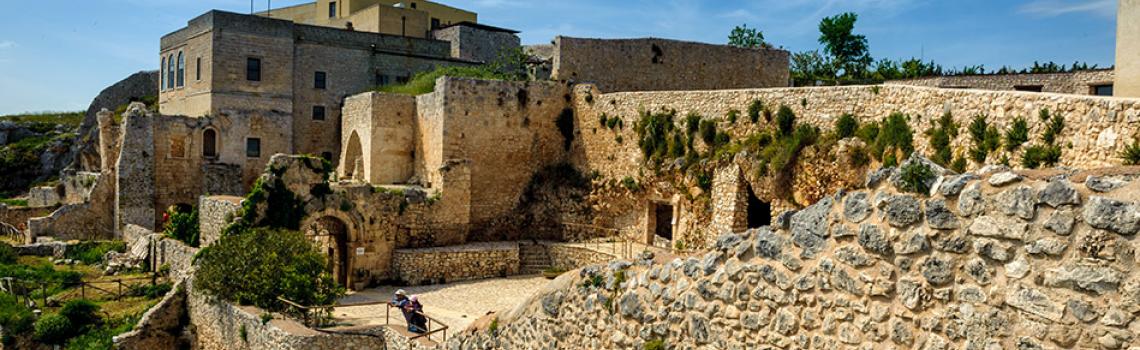
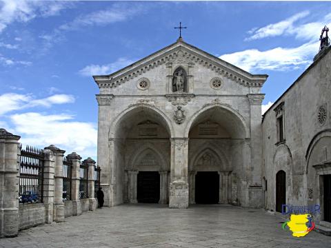
THE ANGEL'S PATH (OR ARCHANGEL'S )

This route in the Gargano area evokes an ancient tradition, dating to the Middle Ages.
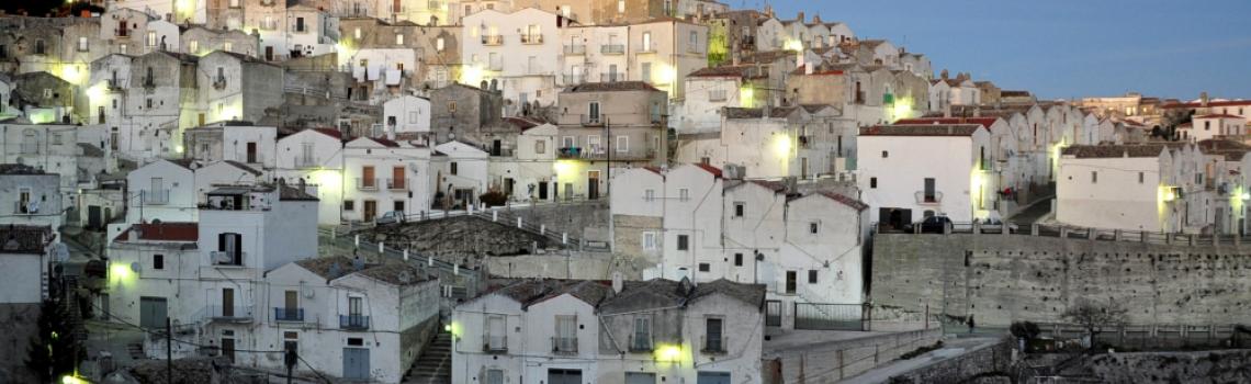
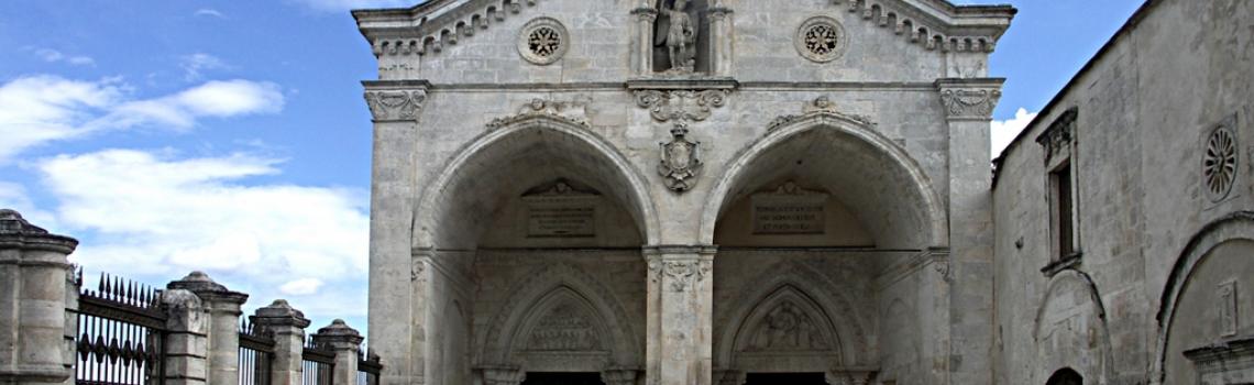
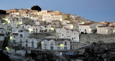
Nowadays we can still partly follow the "Via Sacra Longobardorum", an ancient route of medieval origin that connects Mont Saint Michel in France to the Sanctuary of San Michel Arcangelo in Monte Sant'Angelo, a Unesco World Heritage Site that includes the most important traces of Longobard history through the peninsula.
Piedi
Macchina
Travelling time on foot:
3 Days
Travelling time by car:
2 Days