View Interactive Map
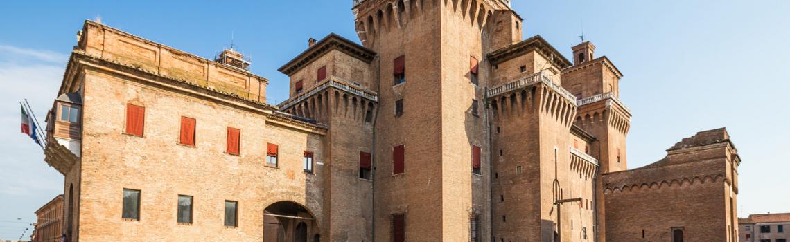
GERMANIC VIA ROMEA FROM STADE

Many inhabitants of the Apennine municipalities between Romagna and Tuscany know, even just by name, the Alpe di Serra Pass (1148 m), and many have also heard about the Via Vecchia Romagnola that preceded the Mandrioli Pass (1173 m.), and possibly about the Via Maior, as it is called in Camaldolese notarial deeds from just after the year 1000 to our days. Many people in the Santa Valley on the Tuscan side and in the Savio Valley on the Romagna side remember that their grandfathers used to cross the Apennines through Alpe di Serra for work, to make purchases or to meet their girlfriends.
The stone pavings, cobblestones, and stone ballasts of many stretches of this road between Bibbiena and Bagno di Romagna have caught the imagination of many visitors, of lovers of history and archaeology or even of mushroom hunters, who have often called Roman Road what in reality is a road that pre-dates the Roman conquest, in spite of the fact that nothing specifically "Roman" can be seen along the route and the stone pavings and ballasts are only a few centuries old.
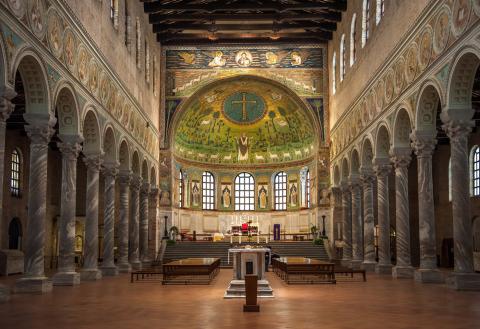
In the mid-19th century, in the Saxon library of Herzog August of Wolfenbuttel, a researcher came across a document written around 1236 and describing pilgrimage roads connecting the Hanseatic city of Stade to Rome. Among the stages of a possible itinerary, it explicitly listed Forlì, San Martino in Strada, Meldola, Civitella, Bagno di Romagna, Alpe di Serra, Campi di Bibbiena, Subbiano, etc. The document, part of the Annals of Stade (Annales Stadenses), was written by the abbot Albert, a Franciscan friar in the convent of St Mary at Stade, as a tale – as was often done in the Middle Ages - describing the conversation between two friars, Tirri and Firri, on a pilgrimage to Rome. At the same time it provided different routes with precise information about places, distances and road conditions in the journey to and from Rome.
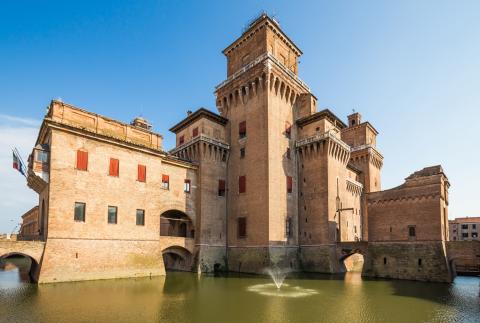
This itinerary runs along the Germanic Romea Road from Ferrara to Bagno Romagna and covers approximately 214 km.