View Interactive Map
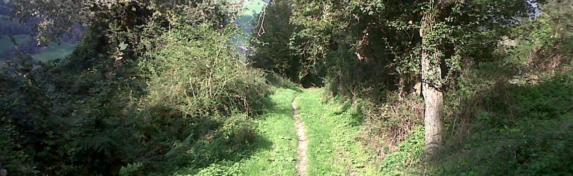
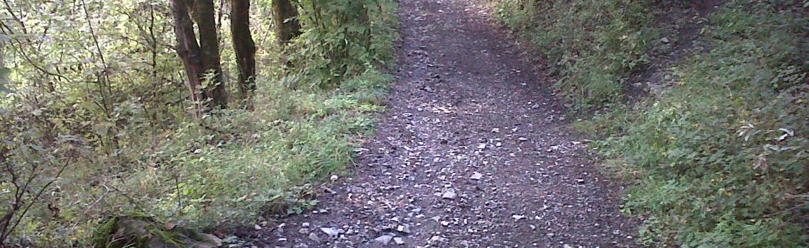
THE MATILDE PATH (REGGIO EMILIA)
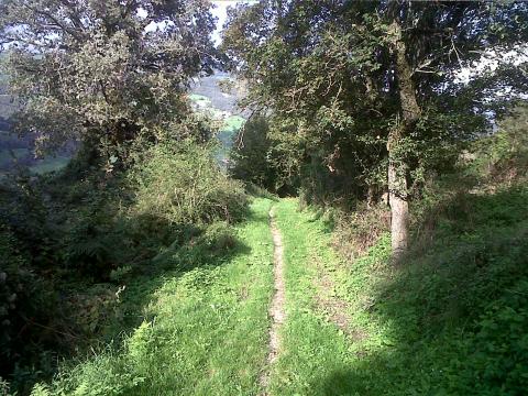

This route coincides with the hiking itinerary (The Matilde Path - Reggio Emilia), with the following variations:
- to reach Manno after Stiano keep to the paved road that climbs to the Oratory Montecroce and then goes down to Manno;
- to avoid the Malpasso, climb to Castagnola and Montebiotto and take the local road to reach Gova and Cadignano;
- from here follow the hiking route until the Ponte di Morsiano bridge, where you enter the Modena area by climbing to Panigale, and then take the Tracciolino road to Fontanaluccia;
- from Fontanaluccia you return to the Reggio Emilia area by riding over the dam and reaching Gazzano;
- from Gazzano, to avoid the curves, you take secondary roads up to the provincial road, then follow the provincial road to Civago and at Case Cattalini take the forest road leading to the Segheria refuge.
From here the path merges with the multipurpose path that brings you to Giovarello, Le Maccherie, San Geminiano and then climbs to the Radici Pass and S. Pellegrino.